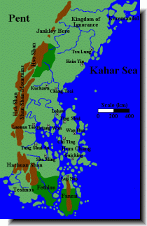
Kralorela (16kb)
drawn by Matti Järvinen
from Maps of Glorantha
in Matti Järvinen’s homepage

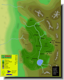
Shâ Yâr Valley (170kb)
drawn by Wesley Quadros
from Maps of the Middle World
in Wesley's Glorantha Site III
|
大嶺山脈 [Shan Shan Mts.] 西麓の、鉄塞 [the Iron Fort] の北にあるという沙涯儿盆地 [Shā Yár Péndì: 「沙涯儿」は砂の果ての意] の地図。 This map shows Shâ Yár Valley where are the west foot of Shan Shan Mts. In this map, take care for the upward indicated to west. |