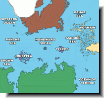
Gloranthan Oceans (81kb)
|
なんだか以前よりバンザ海が南に下がって、その隙間に西の大洋が入ったような気がする。 I have got a feeling that Banthe Sea has down to the south and the Western Ocean has filled up the space where Banthe Sea had moved. |

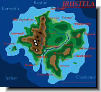
Jrustela (10kb)
drawn by Matti Järvinen
from Maps of Glorantha
in Matti Järvinen’s homepage

Jrustela circa 700 (142kb)
drawn by Steve Leib & David Dunham
from The Cities of Jrustela
in Hero Wars Official Site
|
700年頃のジルステラの地図。13の支配都市といくつかの従属都市があって、それぞれの説明が上述リンク先に記されている。 This map shows Jrsutela in circa 700 S.T. In the then Jrustela, 13 ruling cities and the subordinate cities were. The explanations of these cities are on the page of above linking. |

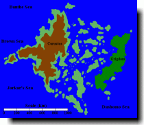
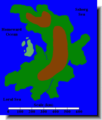
Teleos (10kb)
drawn by Matti Järvinen
from Maps of Glorantha
in Matti Järvinen’s homepage