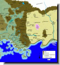
Prax & Dragon Pass (401kb)
drawn by Wesley Quadros
from Maps of the Middle World
in Wesley's Glorantha Site III
|
プラックスとドラゴン・パスを包含しているおかげで、両地域の境界の、普通の地図で省略されている辺りが分かりやすい。 |
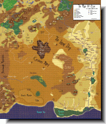
Prax (879kb)
drawn by Andy House
from Maps of the Middle World
in Wesley's Glorantha Site III
|
ゆりかご河流域の諸都市に関しては他の地図の方が詳しいが、プラックスの全域の地形に関しては比類がない。 |
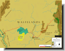
the Wastelands (200kb)
drawn by Wesley Quadros
from Maps of the Middle World
in Wesley's Glorantha Site III
|
大荒野の地図だが、パヴィスからクラロレラの、シャン・シャン山脈西麓にある the Valley of the Sha Yar River に至るキャラバン・ルートが記されている。 |
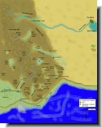
the Border Marches (123kb)
drawn by Wesley Quadros
from Maps of the Middle World
in Wesley's Glorantha Site III
|
嵐が嶺 [Storm Mts.] 南麓に関して最も詳細な地図。 |
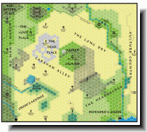
Hex Map of Prax (500kb)
from Maps of Glorantha
in Lokarnos.com
|
あまり詳細ではないが、綺麗な地図。 |
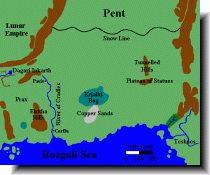
the Wastelands (11kb)
drawn by Matti Järvinen
from Maps of Glorantha
in Matti Järvinen’s homepage
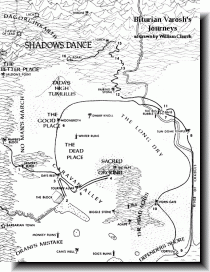
Biturian Varosh's Journeys (187kb)
drawn by William Church
from Glorantha Maps - Regions
in Hero Wars
|
Biturian Varosh がプラックスを旅した行程を描いたもので、ルート、所要時間が分かる。 |
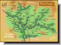
Pavis County (483kb)
drawn by John Hughes
from Fan-contributed Maps
in Hero Wars Official Site
|
パヴィス領内のすべての集落を把握していると思われる地図。 |
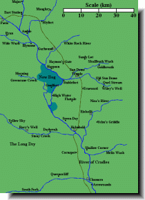
Sun County (11kb)
drawn by Matti Järvinen
from Maps of Glorantha
in Matti Järvinen’s homepage